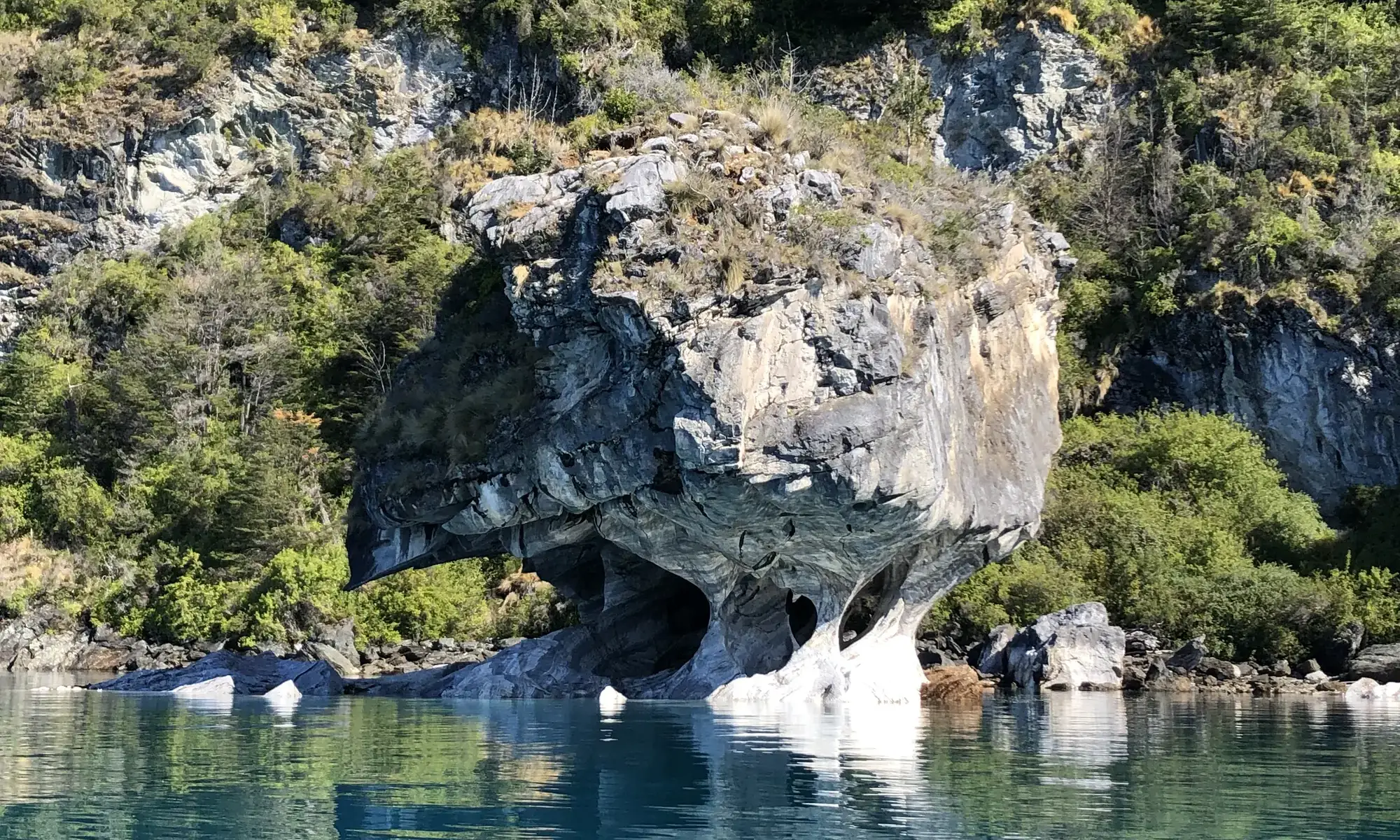
Lake General Carrera is much more than the setting of the Marble Caves. It is one of the largest lakes in South America, shared by Chile and Argentina, with small towns, a mining past and a color that changes with the light. Here are the key facts and what you can see along its shores.
Lake General Carrera facts
| Location | Aysén Region (Chile) and Santa Cruz Province (Argentina) |
| Area | About 1,850 km², of which some 970 km² are in Chile |
| Maximum depth | Around 590 meters |
| Name in Argentina | Lago Buenos Aires |
| Best-known attraction | The Marble Caves, a nature sanctuary since 1994 |
It is often cited as the second-largest lake in South America after Titicaca, and as the largest in Chile.
Why it is so turquoise
Much of the water comes from melting glaciers, which carry very fine rock particles. These particles stay suspended in the water and reflect the light, which explains the turquoise and blue tones. That is why the color varies with the time of day, the weather and the season.
The Marble Caves: its great treasure
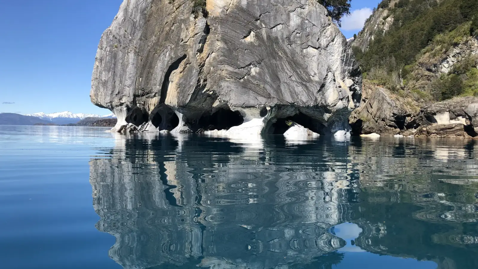
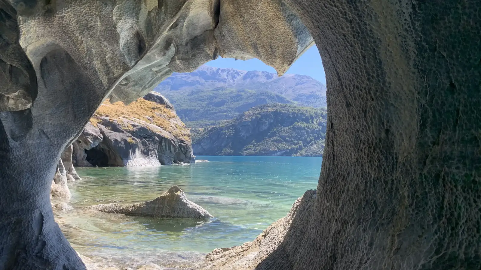
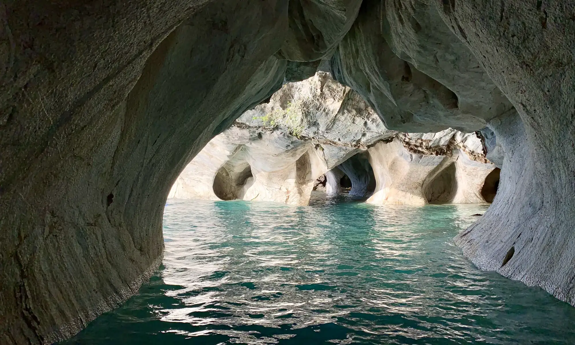
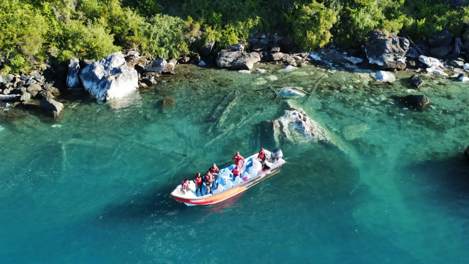
The marble in these formations is about 300 million years old. Over time, the lake’s waves carved arches, tunnels and caves into the rock. The protected area has three main sites: the Marble Chapel, the Cathedral and the Caves.
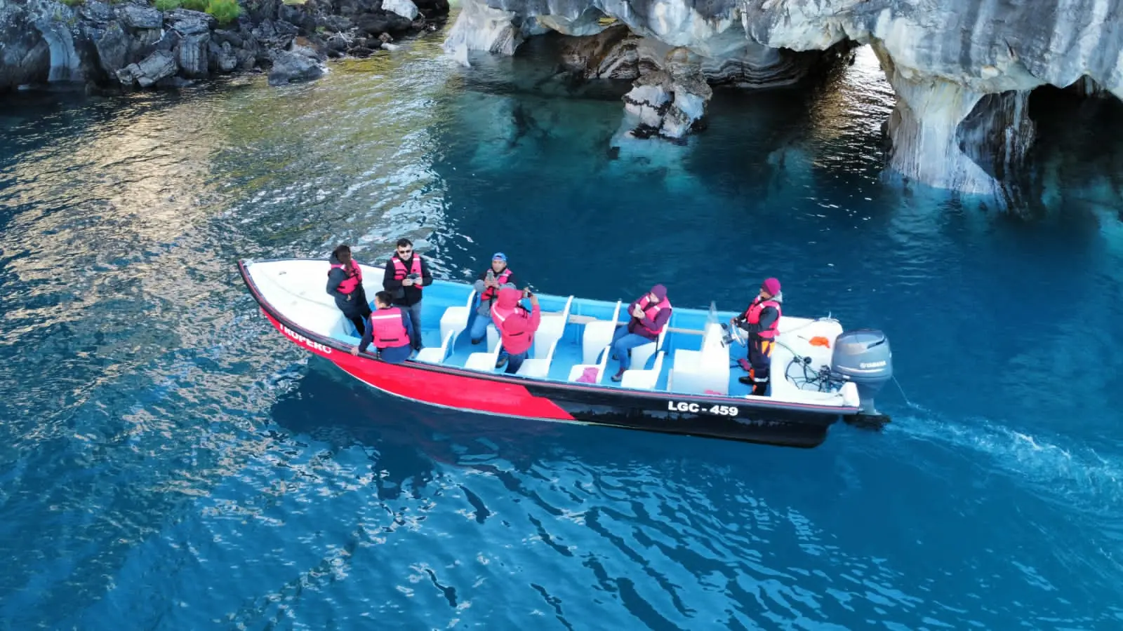
You visit them by boat or kayak from Puerto Río Tranquilo. Get the details in our Marble Caves guide or compare your options in kayak or boat: which tour to choose.
Towns and places around the lake
Puerto Río Tranquilo
On the west shore and right on the Carretera Austral, this is the base for visiting the Marble Caves and entering the Exploradores Valley. It is also our home, with tours, lodging and a restaurant.
Puerto Sánchez and Panichini Island
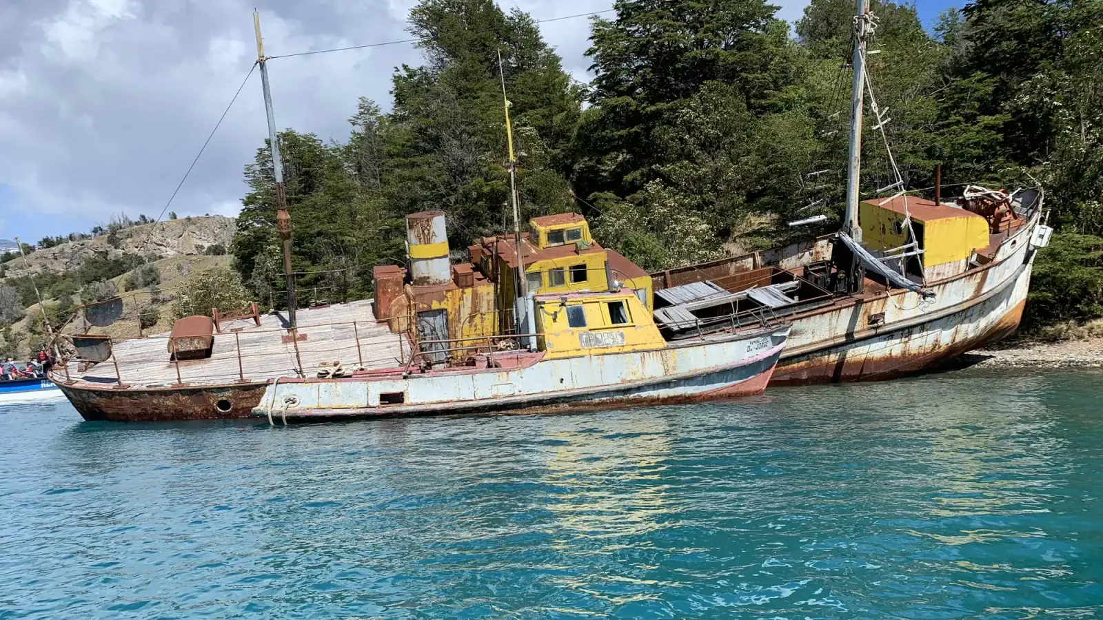
Puerto Sánchez keeps traces of its mining past, such as boats stranded in its bay, along with marble caves of its own. It is a lesser-known destination that we explore together with Panichini Island on the Full Mármol tour.
Puerto Ingeniero Ibáñez
On the north shore, this is where the ferry leaves for Chile Chico across the lake. It is an alternative for connecting the two shores without driving around by land.
Chile Chico
On the south shore and very close to the Argentine border, it is known for a drier, sunnier climate than the rest of the region. It is also the entry point for travelers coming from Los Antiguos.
Puerto Guadal
A quiet town on the south shore, on the road linking Chile Chico with the Carretera Austral. The drive between them, with the lake always alongside, is one of the most scenic in the area.
What to do on the lake
- Take a boat: the most direct way to feel its scale and get close to the marble.
- Paddle: by kayak, with a guide, at water level. The Sunrise Kayak Tour does it at dawn.
- Drive around it: the road along the south shore offers viewpoints and small towns.
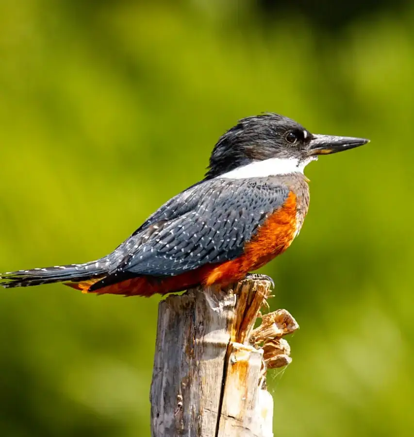
- Watch birds: along its shores you can spot species such as the kingfisher.
Taking care of the lake
The lake and the Marble Caves are a fragile environment. When you visit, take your trash with you, do not touch or mark the marble, and follow your guides’ instructions. Choosing operators registered with Sernatur also helps keep tourism responsible.
How to get there
The most common gateway is Balmaceda Airport and, from there, the Carretera Austral. We explain it step by step in how to get to the Marble Caves. And if you plan to drive the full route, see our Carretera Austral travel guide.
See the lake from the water, by boat or by kayak.