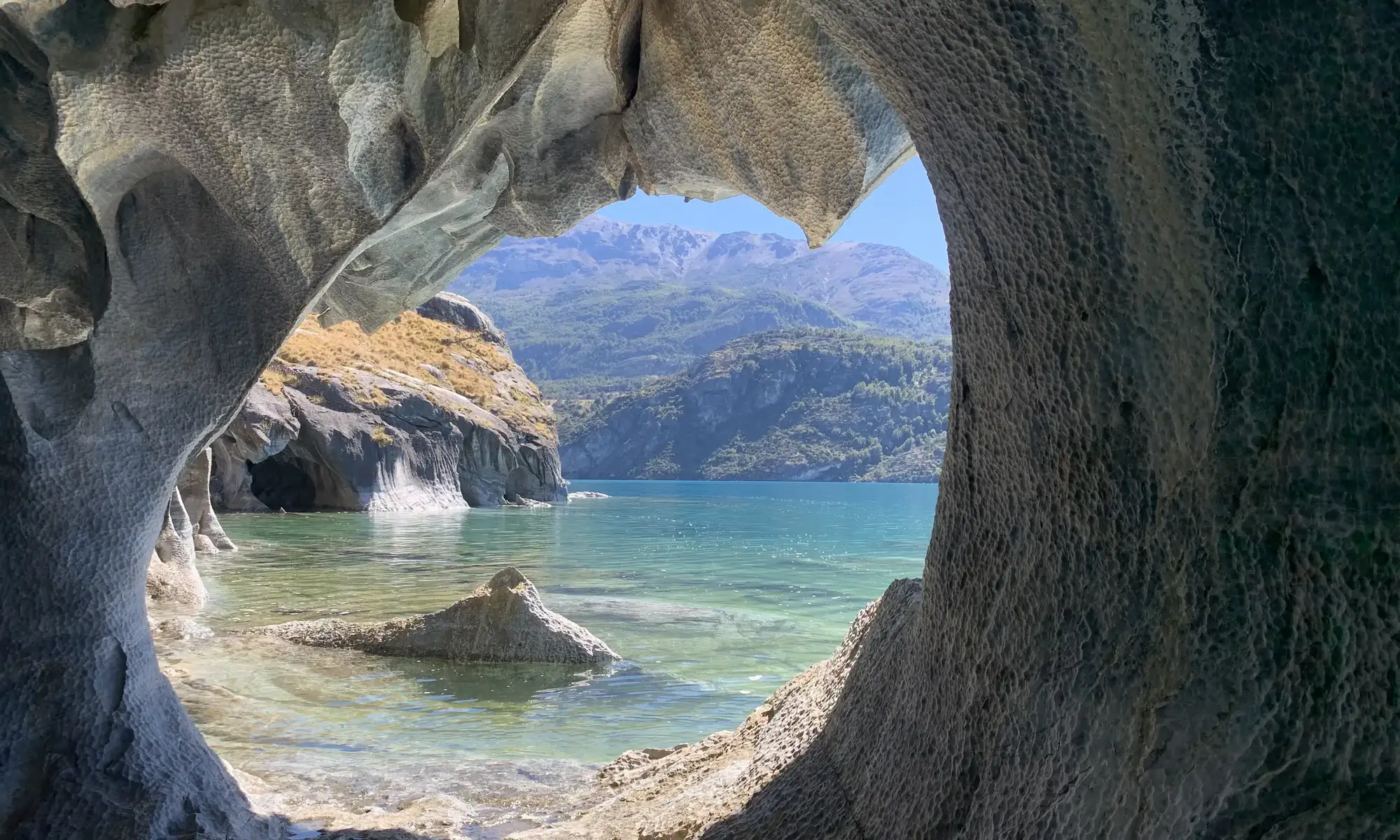
The Carretera Austral is one of Chile’s most famous routes: more than 1,200 kilometers between Puerto Montt and Villa O’Higgins, through fjords, forests, glaciers and lakes of an unlikely color. It is also a trip that takes planning. This guide splits it into sections and sums up what you should know before leaving, from ferries to fuel.
What is the Carretera Austral?
Route 7, as it is officially known, links the Los Lagos Region with the far south of the Aysén Region. It was built in stages over decades to connect an area that relied on the sea and on Argentina to reach the rest of Chile.
Today it combines pavement, gravel and ferry crossings. A large part of the route is still unpaved and there is roadwork in several areas, so conditions can change from one season to the next.
The route, section by section
Puerto Montt to Chaitén
The northern section is the one most shaped by the sea. It includes Hornopirén and Pumalín Douglas Tompkins National Park, with alerce forests and volcanoes. The first ferry crossings are here, such as the one at Caleta La Arena, so it is essential to check schedules and reservations.
Chaitén to Coyhaique
This is the green heart of the route. It passes La Junta, Puyuhuapi and its hot springs, and Queulat National Park, famous for its hanging glacier. Side roads to Futaleufú and the Palena River also branch off here. Coyhaique is the largest city on the route and the best place to stock up.
Coyhaique to Puerto Río Tranquilo
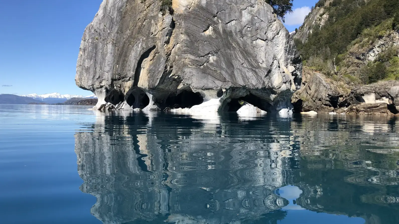
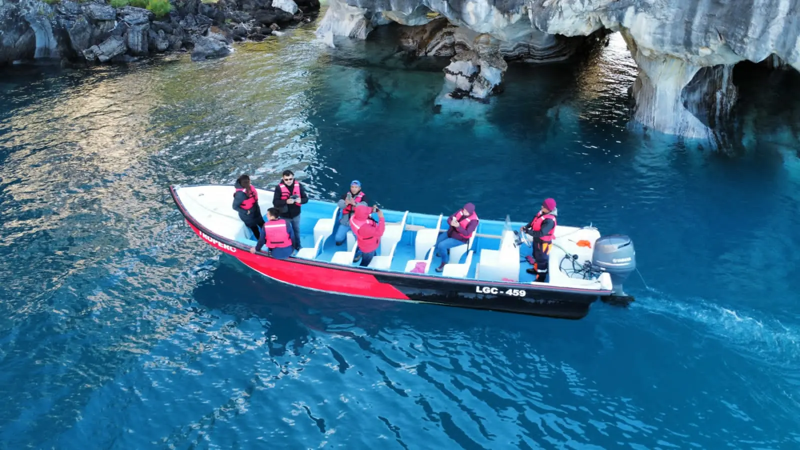
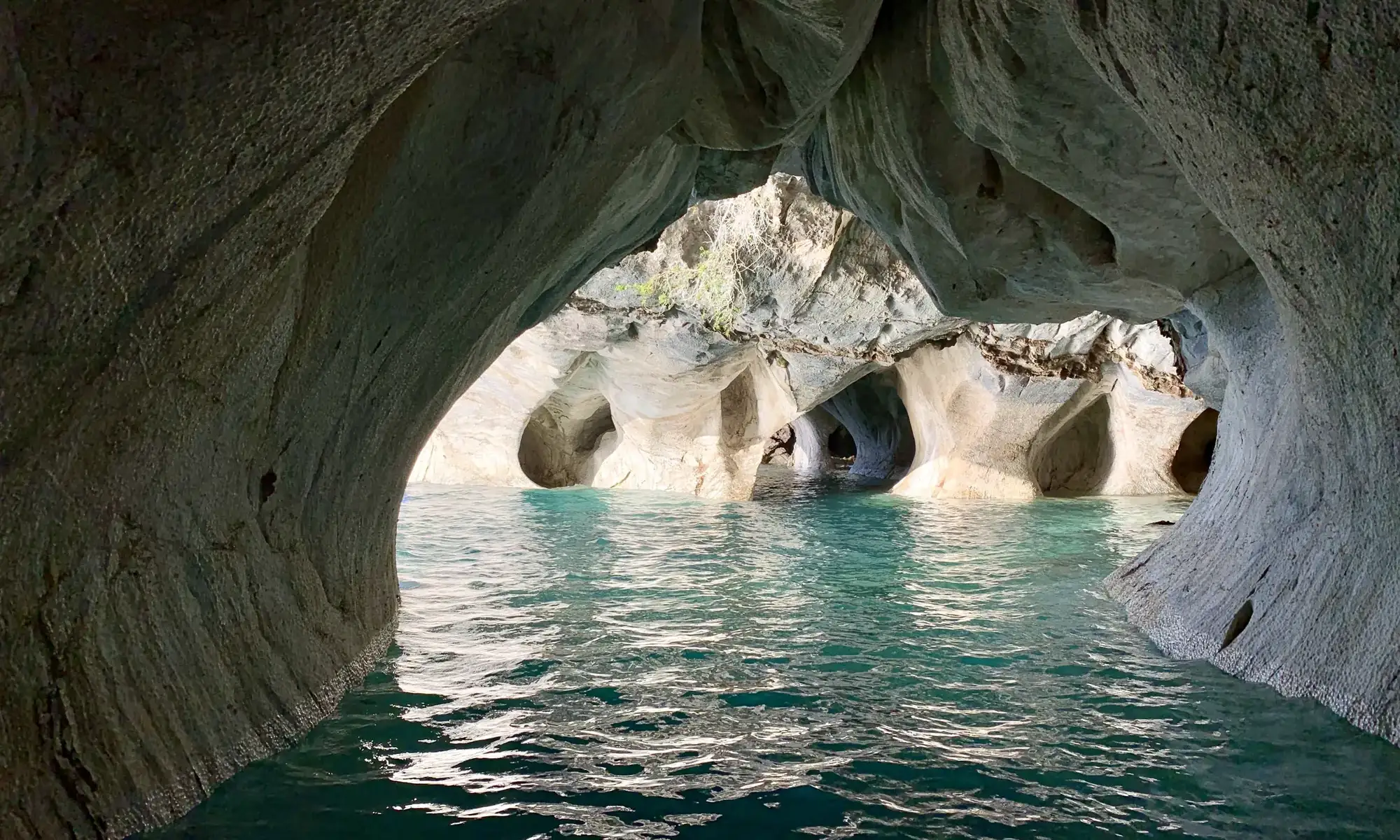
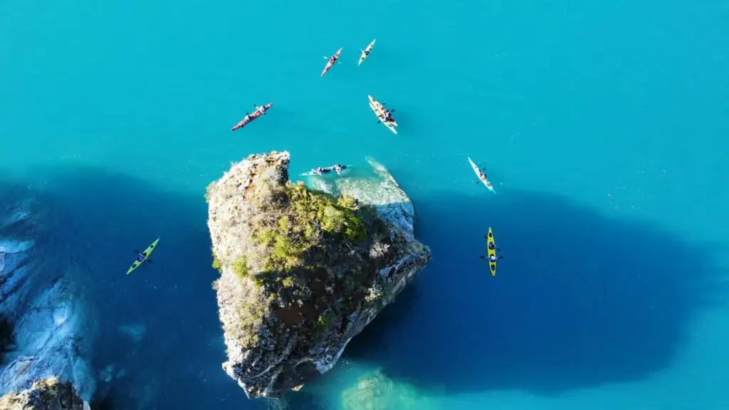
Here the landscape opens up. The road crosses Cerro Castillo National Park and reaches the shore of Lake General Carrera. Puerto Río Tranquilo is home to the Marble Caves, one of the essential stops on the whole trip, and the way into the Exploradores Valley. Read things to do in Puerto Río Tranquilo to plan your days.
Puerto Río Tranquilo to Cochrane and Caleta Tortel
Further south, the road skirts the lake and follows the Baker River basin, with its turquoise water. Patagonia National Park is near Cochrane. Further on, Caleta Tortel surprises visitors with its wooden walkways over the water.
Caleta Tortel to Villa O’Higgins
The last section is the most remote. It includes the ferry crossing from Puerto Yungay and ends in Villa O’Higgins, the gateway to the Ruta de los Glaciares. It takes time, fuel and patience with schedules.
How many days you need
| Time available | What to cover |
|---|---|
| 4 to 5 days | Balmaceda, Coyhaique, Cerro Castillo and Puerto Río Tranquilo |
| 7 to 10 days | All of the above, plus Queulat and Puyuhuapi, or Cochrane and Caleta Tortel |
| 2 to 3 weeks | The whole route, from Puerto Montt to Villa O’Higgins |
These are estimates for traveling without rushing. Keep in mind that average speeds on gravel are low and that bad weather can force you to stop.
When to go
The recommended season runs from December to March, with long days and better weather. Even so, Patagonia is changeable: you can get sun, rain and wind in a single day. Outside summer there are fewer services and less frequent transport.
Tips for driving the Carretera Austral
- Vehicle: a 4×4 or high-clearance pickup is recommended because of the gravel and changing weather. Check your spare tire too.
- Fuel: fill the tank whenever you can. Some stretches have more than 200 kilometers between gas stations.
- Ferries: check schedules and reservations before leaving, especially in summer.
- Supplies: carry water, food and waterproof clothing. Services are scarce in some areas.
- Speed: slow down on gravel. Loose stones and blind curves are the main risk.
- Environment: do not feed wildlife and take all your trash with you.
Where to start if you are short on time
Flying to Balmaceda and heading down to Puerto Río Tranquilo is the most direct way to see the best of the route in a few days. We explain the journey in how to get to the Marble Caves.
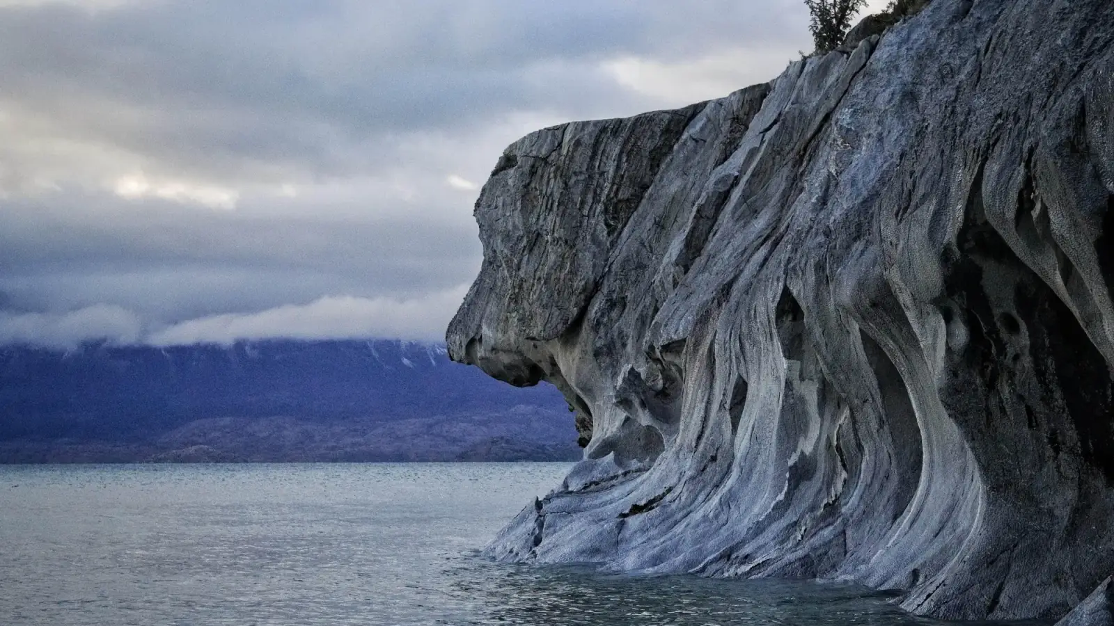
Passing through Puerto Río Tranquilo? Book your Marble Caves tour.